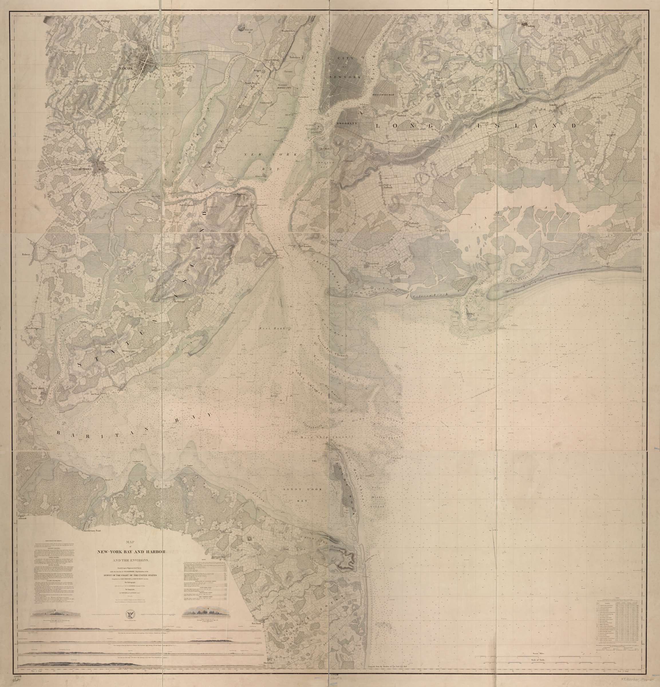
Map of New-York Bay and Harbor and the Environs, 1844–1845
1844
New York Bay and Harbor · Sandy Hook approaches (general area)
The first federal chart of New York Bay ever made from an instrument survey — the six-sheet composite compiled under A. D. Bache, superintendent of the U.S. Coast Survey. Triangulation by Ferdinand Hassler, James Ferguson, and Edmund Blunt; hydrography under Thomas R. Gedney; topography by C. Renard and T. A. Jenkins. Sheets 1–4 were verified by C. M. Eakin and published in 1844; sheets 5 and 6 by Lt. A. A. Humphreys in 1845. This chart is the earliest instrumental fix on the position of Sandy Hook's tip that this chapter's growth timeline uses. Every later Coast Survey edition redraws the peninsula against this baseline; each one shows the tip walking further north past the fixed Sandy Hook Lighthouse.
Item record
- Title
- Map of New-York Bay and Harbor and the Environs, 1844–1845
- Date
- 1844
- Source
- A. D. Bache, Superintendent · Survey of the Coast of the United States · 1844–1845 · scan from the New York Public Library, Lionel Pincus and Princess Firyal Map Division
- Contributor
- The New York Public Library · Lionel Pincus and Princess Firyal Map Division
- Rights
- Public domain in the United States (federal government publication)
- Slug
coast-survey-1845
Verification: unverified.
Cite this item
Map of New-York Bay and Harbor and the Environs, 1844–1845 (1844). A. D. Bache, Superintendent · Survey of the Coast of the United States · 1844–1845 · scan from the New York Public Library, Lionel Pincus and Princess Firyal Map Division The Highlands History Project, https://history.abovethehook.com/archive/coast-survey-1845/.