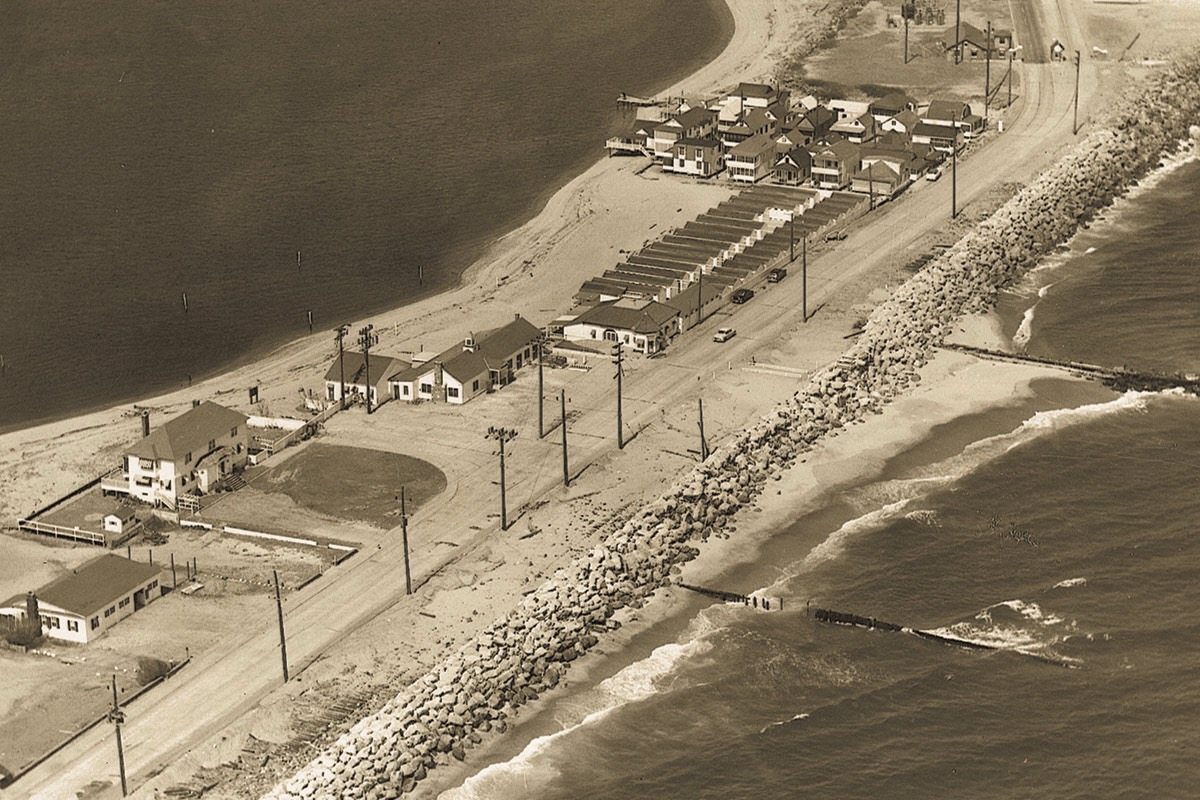
Aerial view of Highland Beach with the rock seawall, ca. 1955
ca. 1955
Highland Beach, foot of Sandy Hook (general area)
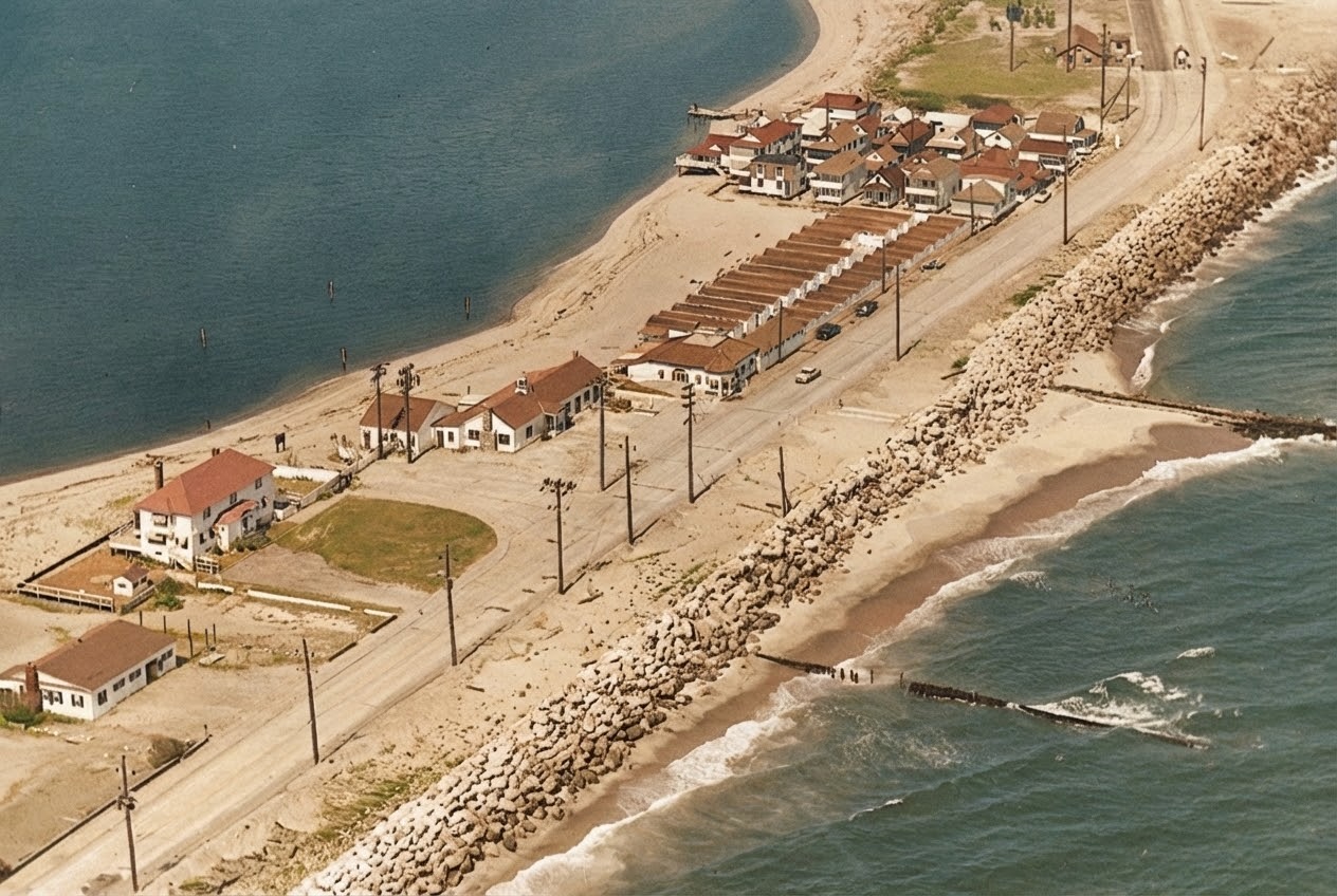
A sepia aerial photograph of Highland Beach and the Sandlass Beach Club from the ocean side, ca. 1955. The Shrewsbury / Sandy Hook Bay curves at upper left; the cottage colony sits on the sand at upper right; the long row of Sandlass bathhouses runs along Ocean Avenue at center; the family house (future Building 600) is at lower left with its own picket-fenced yard. The Ocean Avenue roadway climbs the frame at right; a rock seawall runs the length of the ocean front at bottom, protecting the beach from surf, with several stone groins projecting into the water. Utility poles march down the road. The state-condemnation moment is seven years in the future when this frame is taken.
Original and colorized
Item record
- Title
- Aerial view of Highland Beach with the rock seawall, ca. 1955
- Date
- ca. 1955
- Source
- Sandlass Family Collection · via ATH archive
- Contributor
- Sandlass Family Collection
- Rights
- Sandlass Family Collection — permission granted for ATH publication
- Slug
hb-family-img-9404
Verification: unverified.
Cite this item
Aerial view of Highland Beach with the rock seawall, ca. 1955 (ca. 1955). Sandlass Family Collection · via ATH archive The Highlands History Project, https://history.abovethehook.com/archive/hb-family-img-9404/.