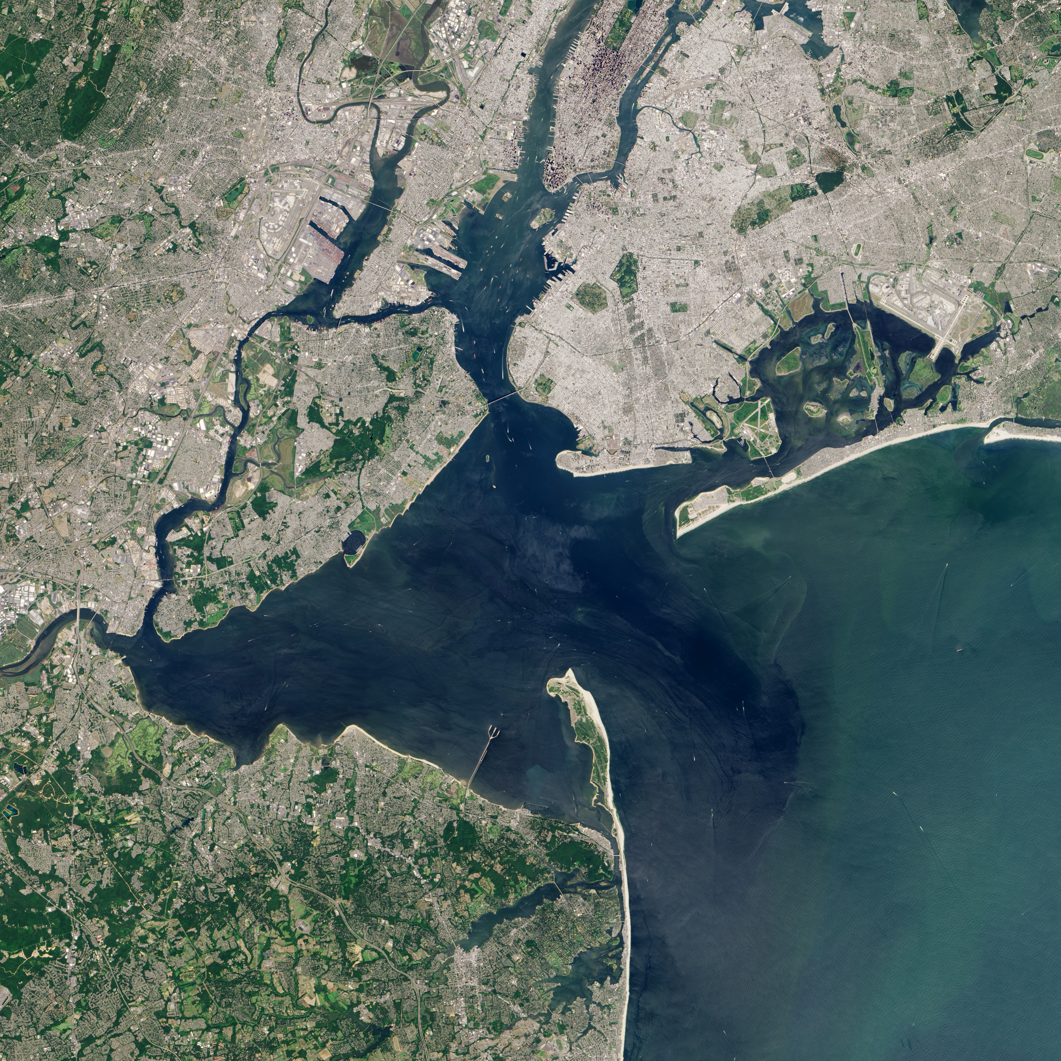
Sandy Hook and the Highlands from Landsat 8, August 26, 2015
2015-08-26
Sandy Hook peninsula and the Navesink Highlands (approximate)
The Sandy Hook peninsula and the Highlands ridge from Landsat 8, 26 August 2015 — the peninsula from the tip at Sandy Hook Point on the west to the Highlands ridge on the east, the mouth of the Navesink and Shrewsbury rivers between. NASA Earth Observatory image by Jesse Allen using Landsat 8 OLI data from the U.S. Geological Survey. Placeholder for the eventual ATH matched drone shoot.
Item record
- Title
- Sandy Hook and the Highlands from Landsat 8, August 26, 2015
- Date
- 2015-08-26
- Source
- NASA Earth Observatory · Landsat 8 OLI · Jesse Allen · 2015-08-26 · public domain (NASA / USGS)
- Contributor
- NASA Earth Observatory · Landsat 8 OLI · Jesse Allen
- Rights
- Placeholder — replace before publishing
- Slug
land-itself-landsat-2015-sandy-hook
Verification: placeholder item — metadata and image will be replaced with archival material before publication.
Cite this item
Sandy Hook and the Highlands from Landsat 8, August 26, 2015 (2015-08-26). NASA Earth Observatory · Landsat 8 OLI · Jesse Allen · 2015-08-26 · public domain (NASA / USGS) The Highlands History Project, https://history.abovethehook.com/archive/land-itself-landsat-2015-sandy-hook/.