The ridge the river is named for, 2026
2026-06-16
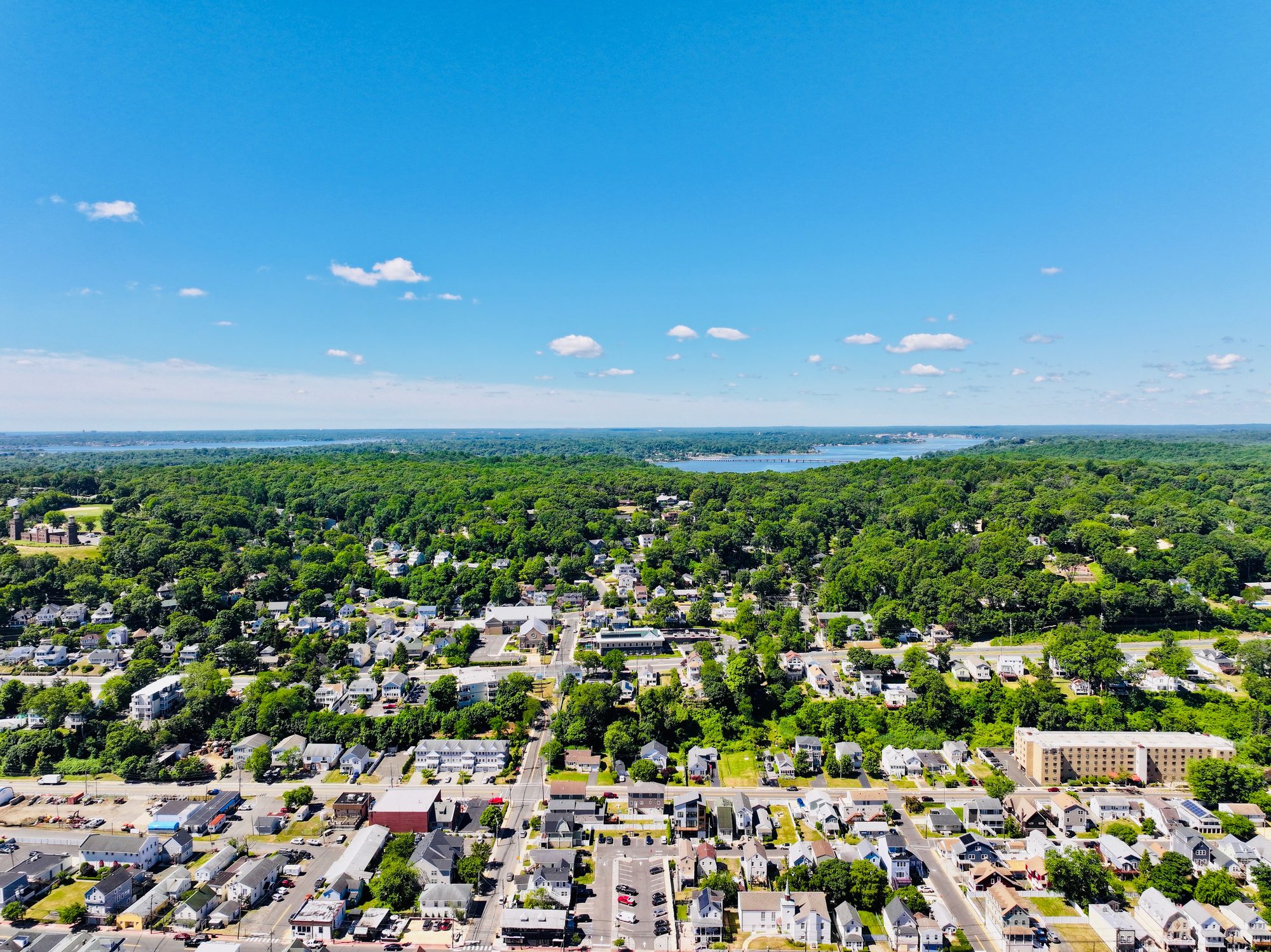
Over Highlands, looking south to the Navesink Highlands ridge (approximate)
Highlands from the air, looking south across the town to the Navesink Highlands ridge. The Twin Lights station stands on its lawn at the left, a tower at each end of the brownstone keeper's range. Behind the ridge the Navesink River runs west, a low bridge on piers crossing it, with Middletown and the far bank beyond. The band whose name the river carries lived on this ground, and the ridge is the reason the river is where it is.
Item record
- Title
- The ridge the river is named for, 2026
- Date
- 2026-06-16
- Source
- Aerial photograph by Above the Hook · 16 June 2026.
- Contributor
- Above the Hook
- Rights
- Placeholder — replace before publishing
- Slug
navesink-highlands-ridge-2026
Verification: placeholder item — metadata and image will be replaced with archival material before publication.
Cite this item
The ridge the river is named for, 2026 (2026-06-16). Aerial photograph by Above the Hook · 16 June 2026. The Highlands History Project, https://history.abovethehook.com/archive/navesink-highlands-ridge-2026/.