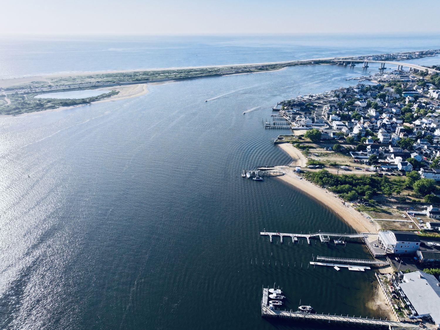
The mouth of the Navesink, 2026
2026-07-03
Navesink River at Sandy Hook (general area)
The Navesink River running out to Sandy Hook, houses of the Highlands and Sea Bright along the far shore, a pier reaching into the channel — the river whose name the Lenape band left on the water.
Free to use
Yours to use.
An Above the Hook photograph, free to use for any purpose — commercial included — as long as you credit Above the Hook. Licensed CC BY 4.0.
Credit line Photograph by Above the Hook · abovethehook.com
Download the full imageItem record
- Title
- The mouth of the Navesink, 2026
- Date
- 2026-07-03
- Source
- Aerial photograph by Above the Hook · 2026.
- Contributor
- Above the Hook
- Rights
- Free to use with credit to Above the Hook (CC BY 4.0).
- Slug
navesink-mouth-2026
Cite this item
The mouth of the Navesink, 2026 (2026-07-03). Aerial photograph by Above the Hook · 2026. The Highlands History Project, https://history.abovethehook.com/archive/navesink-mouth-2026/.