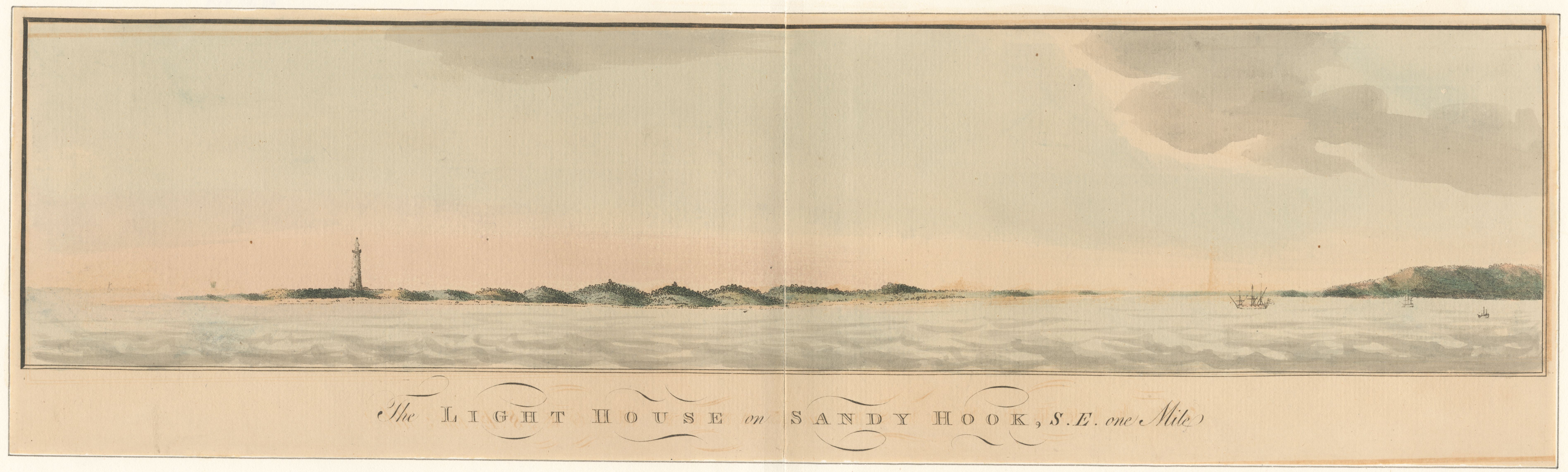
The Light House on Sandy Hook, S.E. one mile
ca. 1777
Sandy Hook Lighthouse from one mile south-east
A watercolored coastal profile of the Sandy Hook Lighthouse from a mile off, looking south-east. The tower stands alone on a low sandy strand; the Highlands ridge lifts at the right; a merchant sail on the horizon at the right, a small anchored vessel at far right. Drawn from the water — the perspective of the vessel making approach — and used by Royal Navy pilots preparing to enter New York Harbour. Companion to the multi-panel Atlantic Neptune sheet by Des Barres; this is the single view the pilot fixed on.
Item record
- Title
- The Light House on Sandy Hook, S.E. one mile
- Date
- ca. 1777
- Source
- After Joseph F. W. Des Barres · from the Atlantic Neptune corpus · ca. 1777 · scan from the New York Public Library
- Contributor
- The New York Public Library
- Rights
- Public domain (18th century)
- Slug
sandy-hook-lighthouse-one-mile
Verification: unverified.
Cite this item
The Light House on Sandy Hook, S.E. one mile (ca. 1777). After Joseph F. W. Des Barres · from the Atlantic Neptune corpus · ca. 1777 · scan from the New York Public Library The Highlands History Project, https://history.abovethehook.com/archive/sandy-hook-lighthouse-one-mile/.