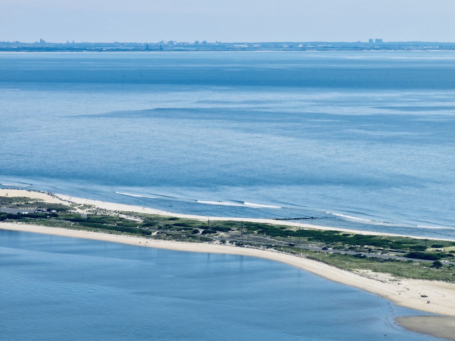
Sandy Hook from the air, 2026
2026-06-25
Sandy Hook peninsula (general area)
The barrier spit curling north into Lower New York Bay, the Atlantic on the right and the bay on the left — the same growing arm of sand the 1609 log and every chart since has tried to fix in place. Faint on the horizon, the Manhattan skyline.
Free to use
Yours to use.
An Above the Hook photograph, free to use for any purpose — commercial included — as long as you credit Above the Hook. Licensed CC BY 4.0.
Credit line Photograph by Above the Hook · abovethehook.com
Download the full imageItem record
- Title
- Sandy Hook from the air, 2026
- Date
- 2026-06-25
- Source
- Aerial photograph by Above the Hook · 2026.
- Contributor
- Above the Hook
- Rights
- Free to use with credit to Above the Hook (CC BY 4.0).
- Slug
sandy-hook-spit-2026
Cite this item
Sandy Hook from the air, 2026 (2026-06-25). Aerial photograph by Above the Hook · 2026. The Highlands History Project, https://history.abovethehook.com/archive/sandy-hook-spit-2026/.