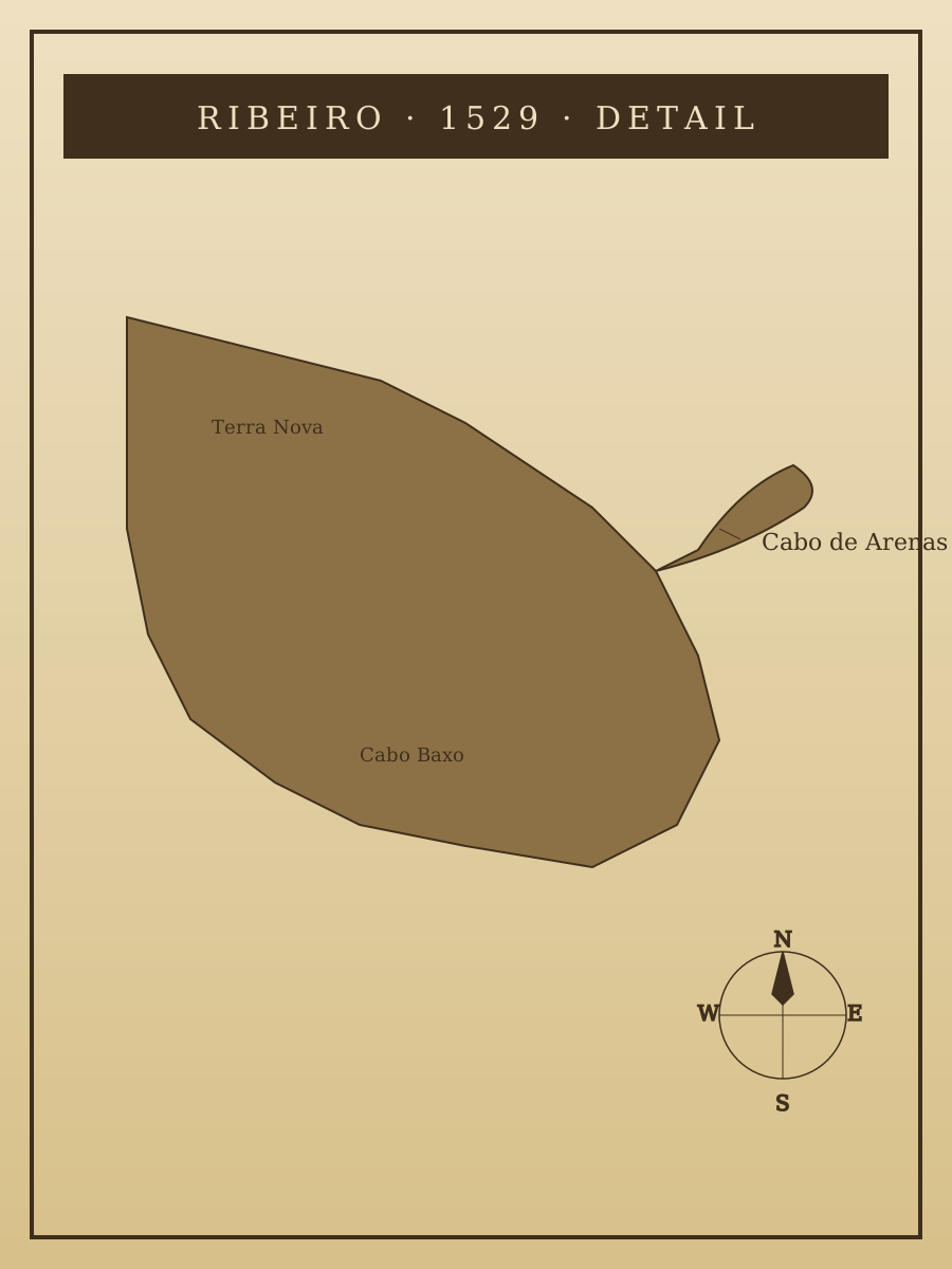
Diogo Ribeiro, world map, 1529 — detail
1529
The 1529 world map by Diogo Ribeiro, official cosmographer of the Casa de Contratación, incorporating Gomes's 1525 survey of the North American coast. Sandy Hook appears here labeled *Cabo de Arenas* — Cape of Sands. The document is the earliest known named-and-mapped mention of the peninsula.
Item record
- Title
- Diogo Ribeiro, world map, 1529 — detail
- Date
- 1529
- Source
- Placeholder — stand-in for the Ribeiro map (Herzogin Anna Amalia Bibliothek, Weimar).
- Contributor
- Placeholder — stand-in for the Ribeiro map at Weimar
- Rights
- Placeholder — replace before publishing
- Slug
first-sails-ribeiro-map
Verification: placeholder item — metadata and image will be replaced with archival material before publication.
Cite this item
Diogo Ribeiro, world map, 1529 — detail (1529). Placeholder — stand-in for the Ribeiro map (Herzogin Anna Amalia Bibliothek, Weimar). The Highlands History Project, https://history.abovethehook.com/archive/first-sails-ribeiro-map/.