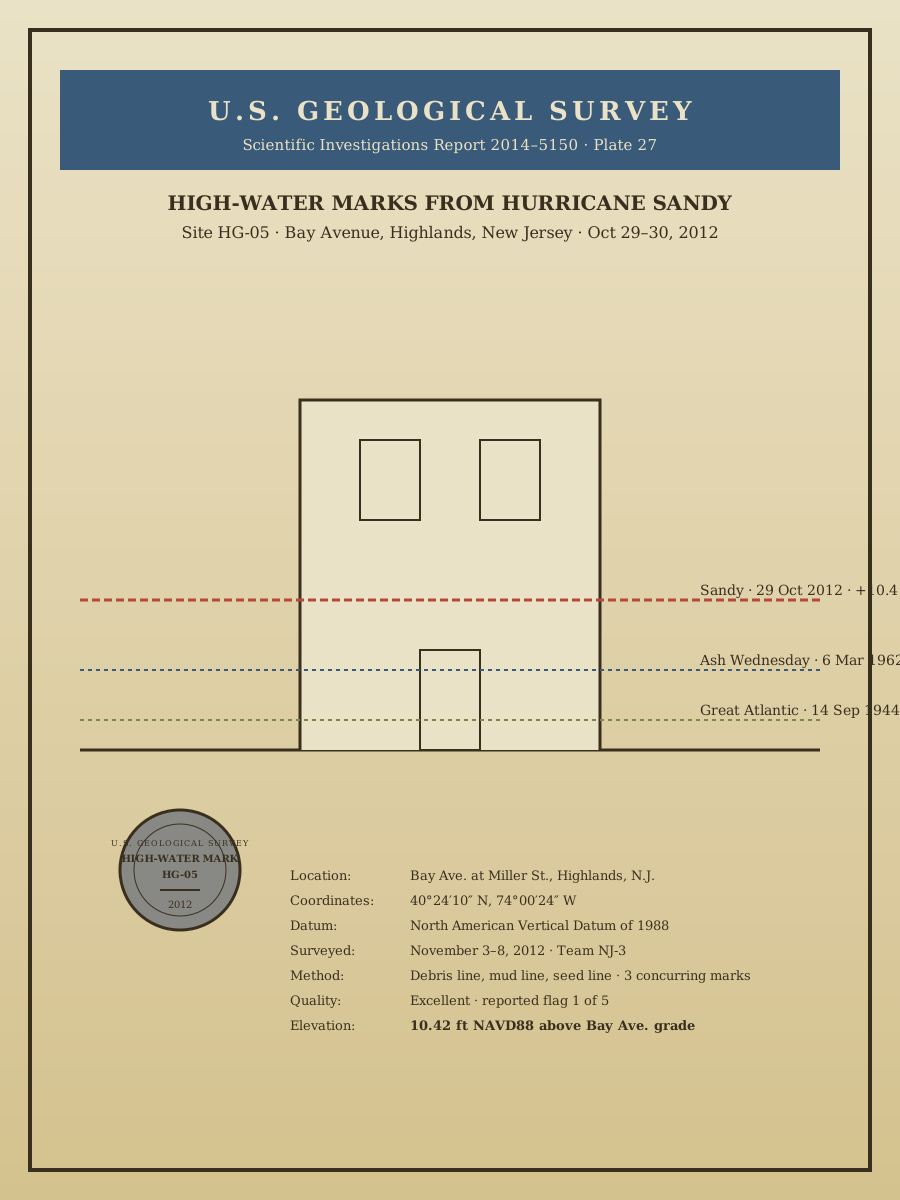
USGS high-water mark, benchmark HG-05
2014
(location unconfirmed)
A page from the U.S. Geological Survey Scientific Investigations Report 2014–5150 — the technical documentation of high-water marks left by Sandy at more than a thousand sites across the northeast. Site HG-05 is Bay Avenue at Miller Street, Highlands. Reported flood elevation, ten and forty-two hundredths feet NAVD88 above street grade — the highest recorded in the town's history, about two and a half feet above the 1962 Ash Wednesday storm and roughly four feet above the 1944 Great Atlantic hurricane. The stainless plate is still there.
Item record
- Title
- USGS high-water mark, benchmark HG-05
- Date
- 2014
- Source
- Placeholder — stand-in for USGS SIR 2014–5150 (public domain).
- Contributor
- Placeholder — stand-in for USGS Scientific Investigations Report 2014–5150
- Rights
- Placeholder — replace before publishing
- Slug
sea-takes-back-usgs-plate
Verification: placeholder item — metadata and image will be replaced with archival material before publication.
Cite this item
USGS high-water mark, benchmark HG-05 (2014). Placeholder — stand-in for USGS SIR 2014–5150 (public domain). The Highlands History Project, https://history.abovethehook.com/archive/sea-takes-back-usgs-plate/.