Prologue
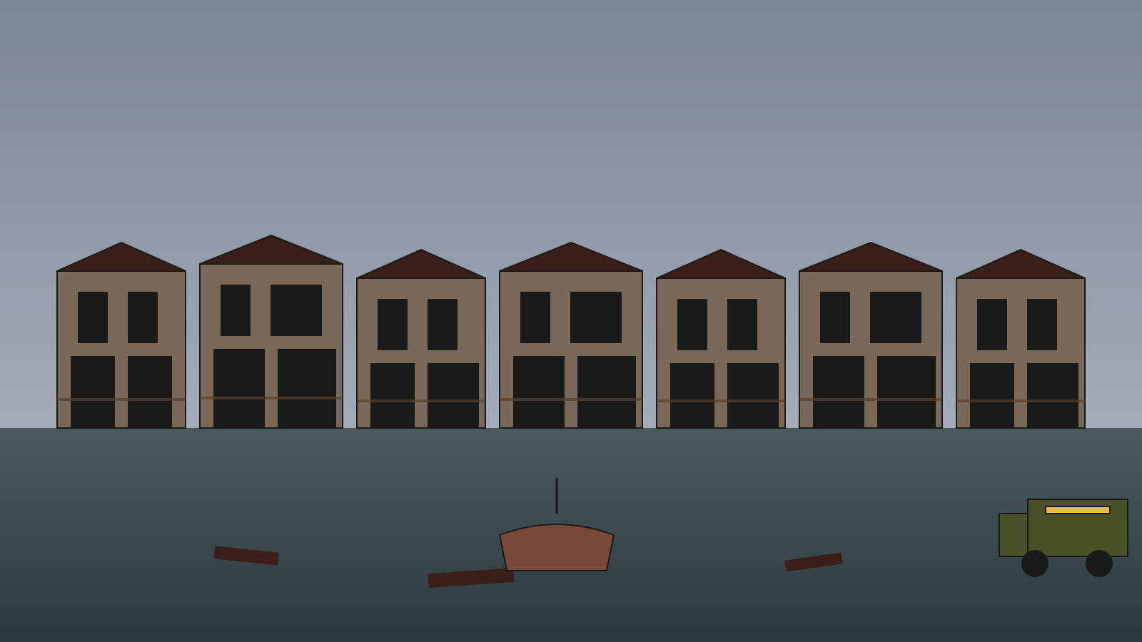
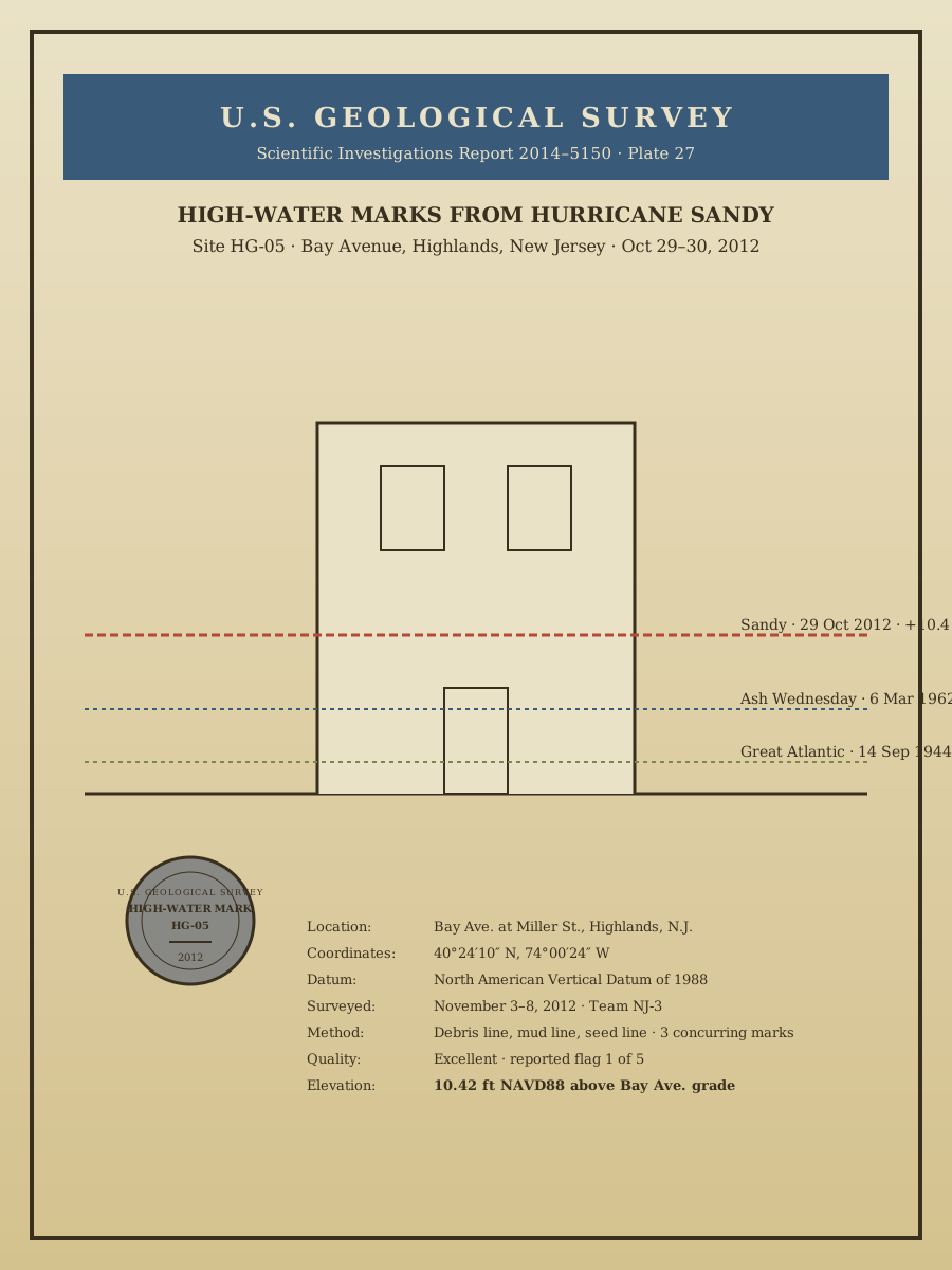
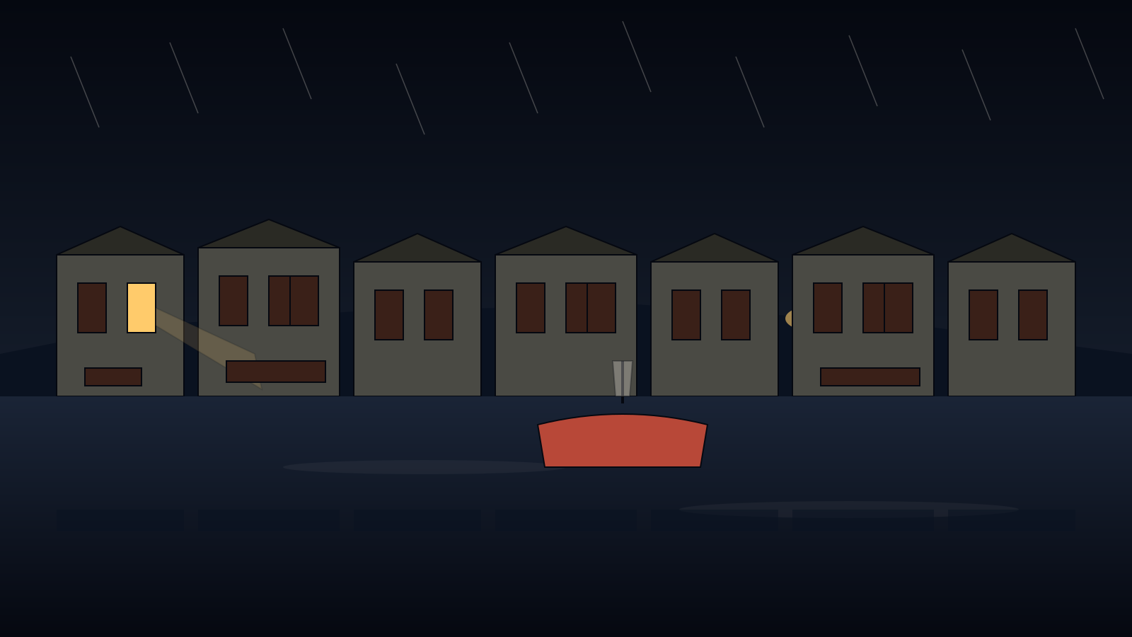
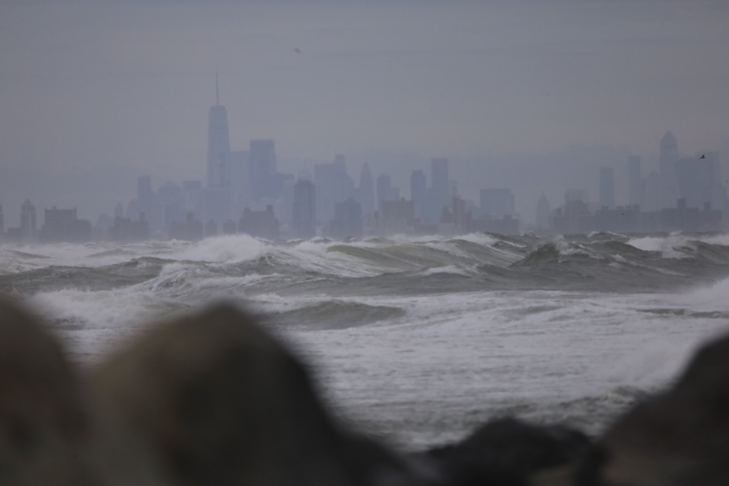
The town at the water's edge pays tribute on the water's schedule. The list, since the Second World War, is short: the Great Atlantic Hurricane of nineteen forty-four, the Ash Wednesday storm of March sixth nineteen sixty-two, the December eleventh nineteen ninety-two nor'easter — and then, on October twenty-ninth, twenty twelve, Sandy. The Sandy line is separate. Sandy is the storm that reshaped every ground floor on Bay Avenue, every family's understanding of what living at ten feet of elevation means, and — for most residents under sixty — the natural terminus of what "flood" refers to at all.
This chapter treats the storms not as interruptions of the town's history but as the recurring author of the townscape. The reason the ground floor on the block you can walk today sits six feet above the sidewalk is Sandy. The reason the block is here at all is the four hundred years of doing this over and over.
This chapter is not finished. What follows is an outline — the shape of the story, not the told version of it. The research is under way and the text will be replaced.