Chapter 15

The Public Coast

1962–present · From seized shore to shared shore

The same eminent domain that ended Highland Beach created one of the most democratic coastlines in America.

A peak summer Saturday at Sandy Hook, ca. 2020 — the beach parking lot full, umbrellas of every color to the horizon, the Twin Lights on the ridge behind, two million visitors a year on ground that was closed for a century

Placeholder illustration for Phase 0 — replace with archival photograph before publishing.

The last chapter of what happened here is the chapter of it becoming public. The same eminent-domain power that ended Highland Beach created Sandy Hook State Park in nineteen sixty-two. The same public-sector logic that closed Fort Hancock delivered Gateway National Recreation Area in nineteen seventy-two. The same Cold-War drawdown that decommissioned the Nike Hercules site turned its casemates into a walking tour. The Navesink Military Reservation transferred to Monmouth County in nineteen seventy-four and became Hartshorne Woods Park in nineteen eighty-four. The Twin Lights became a state historic site in nineteen sixty-two and a National Historic Landmark in two thousand six.

The result is one of the most democratic coastlines in America. Two million people a year now visit a peninsula that was closed federal ground for a hundred years. Most of them have no idea they are walking on a former ordnance test range, on top of a nuclear-armed missile magazine, past the still-buried mass grave of the New Era immigrant dead. That last sentence contains the whole argument of this chapter.

Placeholder narrative for the Phase 0 prototype. Real copy will draw from the NPS Gateway administrative history, the county park system files, the Monmouth County Historical Association's Gateway transition papers, the Twin Lights Historical Society records, and — increasingly, as we do more of them — interviews with the residents who lived through the parks transition on the town side.

The Sandy Hook parking lot on a clear July Saturday tells you everything the Gateway experiment set out to do. Access is real here: the peninsula is fifty minutes by car from Manhattan, an hour and change by ferry, ten minutes on foot from Highlands. The beach is a mile and a half of clean sand. The parking is free through the shoulder seasons and eighteen dollars a car in July and August. The visitor demographics look roughly like Newark, not like the affluent Jersey Shore towns just south of the peninsula. This is a working park.

It is also — because the National Park Service inherited the entire built environment of a hundred years of coastal defense — a functioning museum of the twentieth-century American state. The same signs that direct you to the shower changing rooms direct you to the Battery Gunnison observation post. The same parking lot serves the beach and the Sandy Hook Lighthouse. The Nike missile magazine is now an interpretive stop on a mountain-bike trail. This is the ATH voice for the whole project, and this chapter is where it operates most literally: everything you see standing here carries at least three different eras of its own history.

A packed summer Saturday parking lot at Sandy Hook State Park, ca. 2018 — cars in every stall, families walking toward the beach, a park ranger giving directions

Two million people a year, most with no idea what the ground was sixty years ago.

Placeholder — stand-in for NPS Gateway operations photograph.

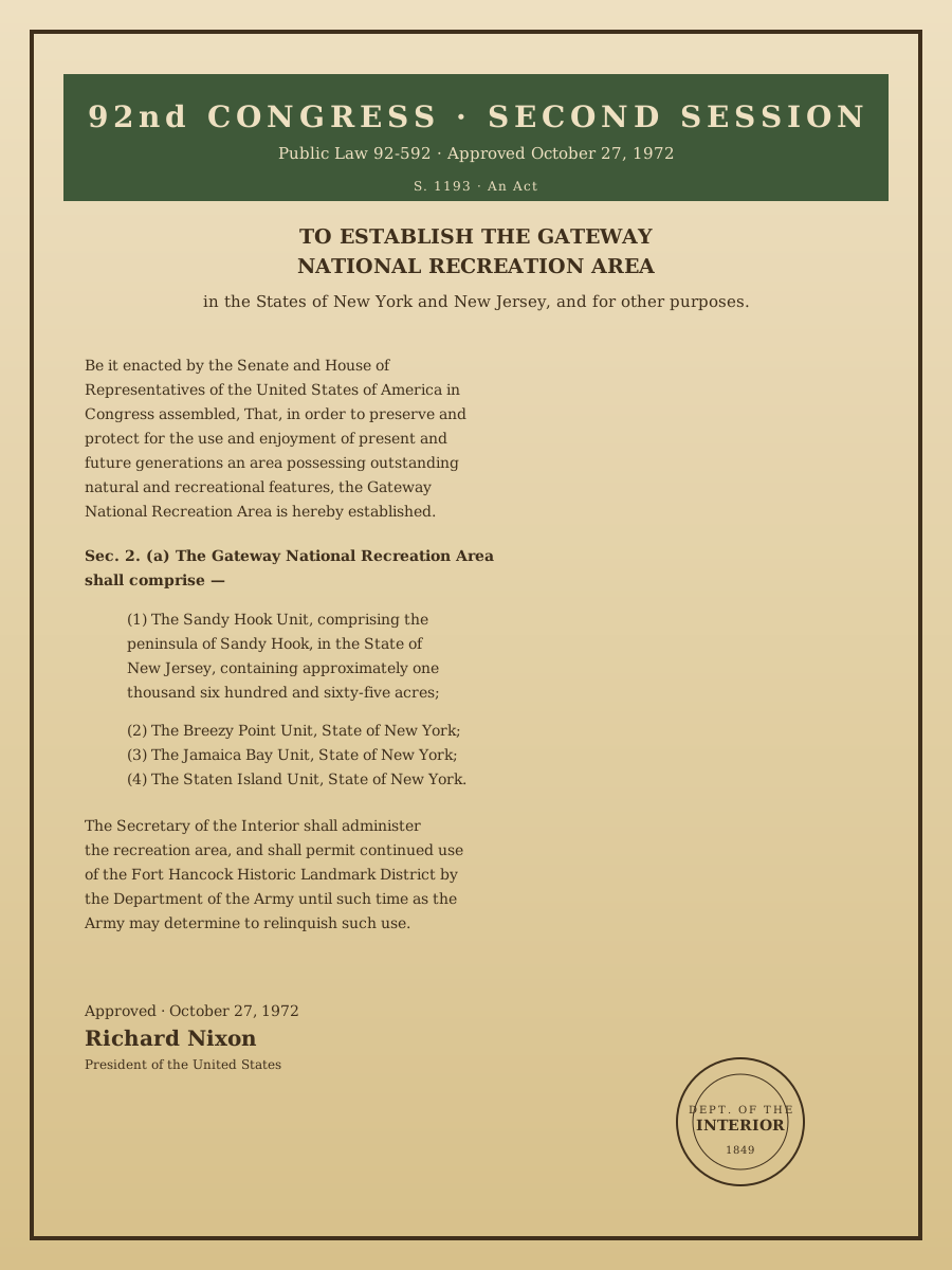
The printed text of Public Law 92-592, October 27, 1972, establishing Gateway National Recreation Area — an act of the 92nd Congress with President Nixon's signature

Placeholder — stand-in for U.S. Statutes at Large, vol. 86 (public domain).

One of the first three urban units in the National Park System.

The Gateway act is remarkably short — twelve pages in the Statutes at Large — and remarkably ambitious. It creates the first true urban unit of the National Park System (Cape Cod and Assateague had been "national seashores"), it does it in the same year as Golden Gate NRA on the West Coast (a deliberate coastal-symmetry choice by the Nixon administration), and it hands the Interior Department a peninsula that was still an active army base.

The Sandy Hook Unit at 1,665 acres is the smallest of the four Gateway units and the one that has needed the most administrative sensitivity. The Army continued to run Fort Hancock through nineteen seventy-four; the National Park Service occupied the Officers' Row buildings the following year; the transition was completed in nineteen seventy-nine with the transfer of the whole Coast Artillery complex to NPS. The Building 600 problem — the Sandlass family home that Chapter Nine ended with — is a direct legacy of that administrative transition. NPS got the building. NPS did not get the money to maintain it.

The map above is a small preservation scorecard. Cream polygons mark the four saved landscapes: Gateway NRA's Sandy Hook Unit, the Twin Lights State Historic Site, Hartshorne Woods County Park, and Mount Mitchill Scenic Overlook. The rust LineString marks the Building 600 site — the one significant historic building on the peninsula that has not yet been preserved. The elevation of Sandy Hook as a whole reads as a triumph. The single dot on the western mainland face reads as an unfinished argument.

The five waypoints run through the transitions chronologically: Sandy Hook first, then Hartshorne Woods, then Twin Lights, then the Mount Mitchill memorial, then finally the one still open in the present tense. If there is a Chapter Fifteen sequel someday it will be about whether Building 600 was saved.

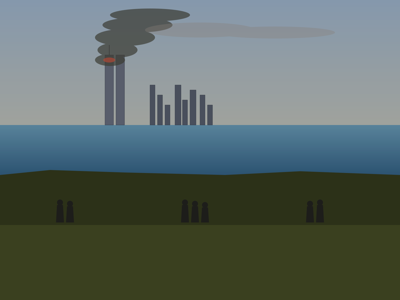
Mount Mitchill sits on the Hartshorne ridge at two hundred and sixty-six feet above sea level — the highest ground on the Atlantic coast between the Yucatán and Maine. On a clear day the New York skyline is forty miles across the harbor, dead north, unobstructed. This is why the Army put the radar station up here in nineteen fifty; it is why the Nike targeting battery had a subsidiary observation point on the same ridge; it is why the Coast Guard put a lookout station there. It is also why the residents of Highlands who could get to the top of the ridge on the morning of September eleventh, two thousand one, went. From Mount Mitchill they could see the towers burn.

The county dedicated the 9/11 memorial on the fourth anniversary, September eleventh, two thousand five. A bronze eagle spread across a granite pedestal, a plaque with the names of the one hundred and forty-seven Monmouth County residents lost that day, a plaza that looks across the harbor to where the skyline was. Every Highlands adult of a certain age can point to exactly where they stood on the ridge four years earlier. Every Highlands adult of a certain age still walks up here on a clear morning to check that the memorial is being looked after.

The site is unusual in the modern American memorial landscape in that it makes no attempt to look away from what it is memorializing. The plaza looks at the skyline. The skyline is missing the towers. The absence is the point. The bronze eagle is looking at the same absence.

The view from Mount Mitchill, Highlands, on the morning of September 11, 2001 — the Manhattan skyline across the harbor with smoke rising from the World Trade Center towers, three small groups of Highlands residents on the summit, muted colorization
Then

Placeholder — stand-in for a private local resident photograph.

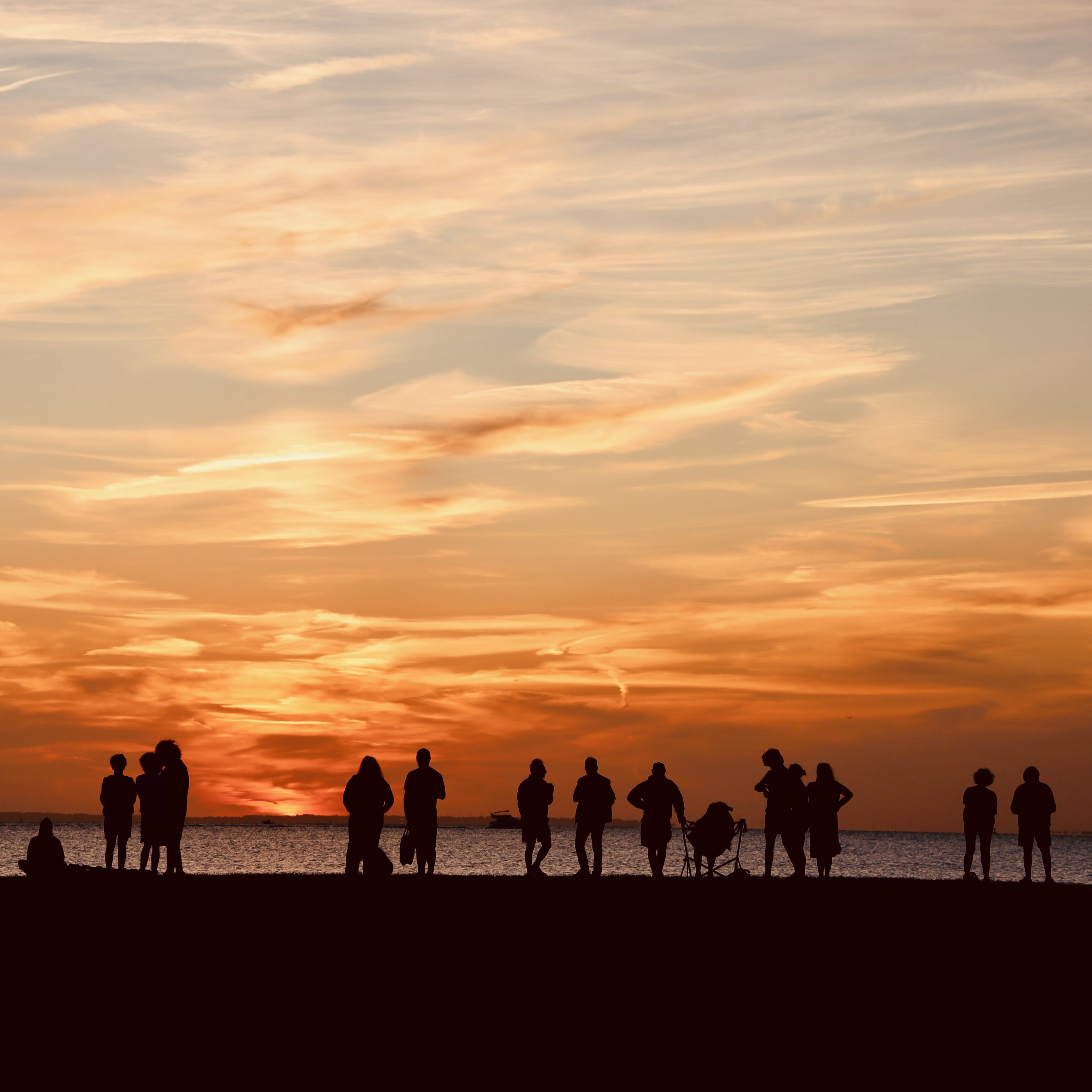
Now

Placeholder — stand-in for ATH matched shoot.

The preservation record on the peninsula is a mixed one and this project reports it honestly. What has been saved: the twenty-two brick Victorians of Officers' Row (restored two thousand one through two thousand eight, NPS interpretive tours weekly). Battery Lewis (restored two thousand fifteen through two thousand seventeen, USS New Jersey barrel installed, walking tour). The Twin Lights museum. Spermaceti Cove Visitor Center (Chapter Six's station house). The Sandy Hook Lighthouse. The Nike Hercules magazine interpretive site in Hartshorne Woods.

What has not been saved: Building 600 (still standing, still decaying, no funded restoration plan). The Battery Gunnison drill hall (partial collapse, twenty seventeen; ongoing structural assessment). The Fort Hancock post hospital (structural gutting; current-use plan in Fort Hancock 21st Century Advisory Committee process). The 1890s enlisted-men's barracks (three demolished, five remaining, one in current use as NPS staff housing).

The Fort Hancock 21st Century Advisory Committee is a real and functioning group. If your family cares about the fort — and if you live in Highlands, it probably does — the meetings are open and worth attending.

This project — Above the Hook, the harbor cam, this website — exists inside the parks era. The camera on the roof of ATH HQ in Highlands looks at the same shoreline the Nike Hercules radar looked at, the same water the John Minturn wrecked in, the same view the Half Moon anchored under. It looks at those things under two million pairs of civilian eyes a summer.

The coast is still negotiating who watches it and for whom. The recent debate over surf-cam removal — one of the small examples, covered locally, of the tension between accessibility and privacy in a place that has been publicly-watched land for two generations — is a live example. This project's position on that particular question is that the harbor cam is public infrastructure, deliberately disclosed, run in accordance with the state privacy law, and governed by our nonprofit board's editorial guidelines. Which is the ATH institutional voice for what the peninsula has been every time someone put a lens on it: watched, disclosed, and worth watching honestly.

Every subsequent chapter is potentially still to be written. If you have a story that belongs on this site, the /contribute form is up. If you have an interview to record, /voices is where those live. If you want to see what is on the water right now, /now is where the harbor is, always.

That is the last page of this saga. The next page is whatever the water gives back tomorrow.